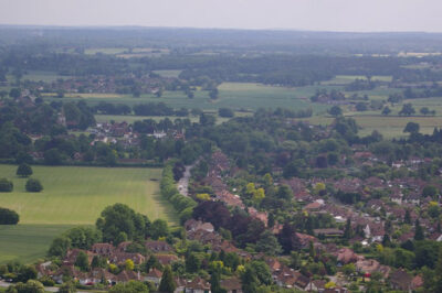
Enjoying Mole Valley’s Open Spaces
Mole Valley is know for its stunning landscapes.
To ensure everyone can enjoy our wonderful countryside, we have put together some helpful guidance.
Be safe
![]()
Practise good hand hygiene for safety and head home if you’re not feeling well. You can always return another day!
Enjoy Mole Valley and remember it is for everyone, so be aware of others at all times including local residents, businesses, people and animals.
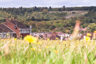
Be tidy
![]()
Help keep our lovely open spaces free of litter by taking yours home and bag and bin dog poo too!
See the devastating impact of dog waste on cattle ›
Enjoy your picnic, but please remember BBQs and fires are prohibited. Protect the views, the environment and animals by leaving nothing but footprints.
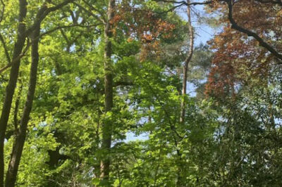
Be kind
![]()
Keep dogs under control and be considerate to other visitors and residents when parking. A cheery wave or a nod might just make someone’s day!
If there is livestock, keep your dog on a lead. If you meet a horse, please don’t feed it (it can cause them harm).
If it’s muddy, don’t forget your wellies! Step on through muddy paths rather than walking around the edges and trampling flowers and fauna.
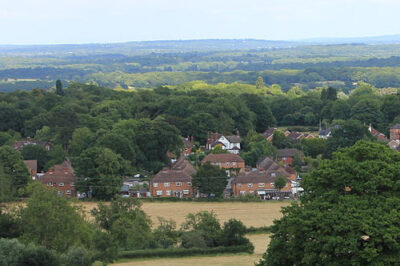
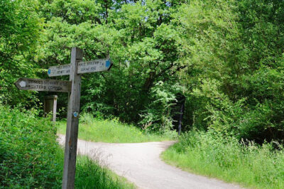
Be prepared
![]()
Before you head out, take a look at the Countryside Code for lots of advice on having an enjoyable and safe visit, including information on footpath right of ways.
Check before you travel that hospitality, car parks and facilities are open.
Our beautiful open spaces can get over-crowded. If it’s busy when you arrive, why not explore somewhere new? Make plans for alternatives in advance.
Places to explore
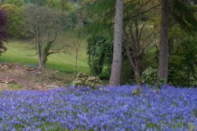
Chart Park
At this spectacular parkland setting you can witness a range of wildlife and flowers. Located near The Deepdene Terrace and Dorking Golf Club.
Location: Dorking, Surrey, RH5 4BX
Circular Walk on Holmwood Common
There is a flat surfaced circular walk on Holmwood Common.
With its mix of dappled woodland and sunny clearings this is a wildlife playground stretching over 650 acres.
 Great Turners Woods
 Great Turners Woods
A rectangular parcel of land bordered to the north by Highland Road and Oak End to the west. The site itself consists of grass and undergrowth/immature trees that have grown up over time. It is generally flat but rises on its boundary with Highland Road.
Location: Situated south west of the village, adjacent to Highland Road.
Greensand Way: Dorking to Reigate Walk
 Greensand Way: Dorking to Reigate Walk
This mainly level walk follows the River Mole upstream from the foot of Box Hill through the picturesque villages of Brockham, Betchworth and Skimmington, woodland and open spaces, ending in the grounds of Reigate Priory.
Leatherhead Common
 Leatherhead Common
An easy, levelled walk surrounded by beautiful woodland.
Location: Leatherhead, KT22 0EF
Leatherhead to Mickleham Loop
 Leatherhead to Mickleham Loop
A beautiful, leisurely walk surrounded by woodland and some open spaces. It has reasonably levelled ground.
Starting point: Leatherhead station
Norbury Park
 Norbury Park
An incredibly varied natural landscape that includes a large woodland, grassland, river valley and farmland.
This beautiful site is managed by Surrey Wildlife Trust and is perfect for a day of walking or a shorter trip with the family.
Polesden Lacey to Ranmore
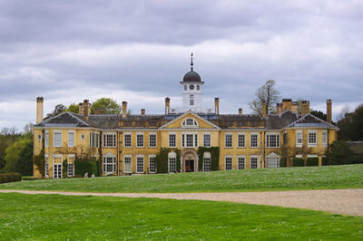 Polesden Lacey to Ranmore
This fantastic route is surrounded by woodland and a beautiful open space. You will not be disappointed by these spectacular views.
Starting point: Great Bookham, Dorking, RH5 6BD
The Deepdene Trail
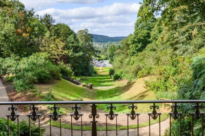 The Deepdene Trail
Just a 15-minute walk from Dorking high street you’ll find the amazing landscape of the Deepdene estate gardens.
It’s full of history, nature and hidden treasures including the 19th century Hope Mausoleum, the magnificent grotto and romantic tower.
Location: Deepdene Avenue, Dorking, RH5 4AE
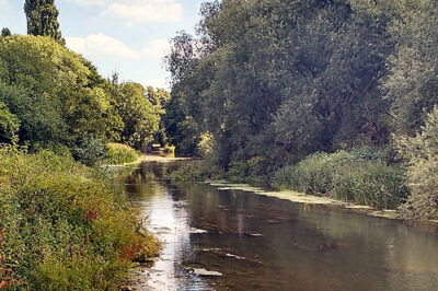
The Mole Gap Trail
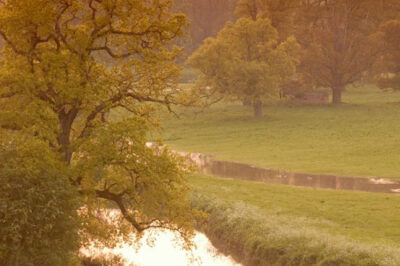 The Mole Gap Trail
The Mole Gap Trail is a 10-kilometre walking route alongside the River Mole, linking the towns of Dorking and Leatherhead. This spectacular trail runs through Norbury Park, the village of Westhumble and across the beautiful Denbies Wine Estate.
Starting Point: Leatherhead Train Station (grid ref 163 569)
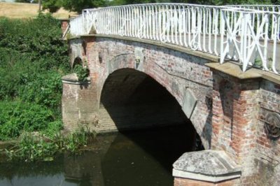
Riverside Path from Thorncroft to Common Meadow
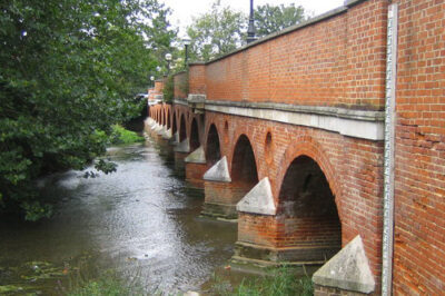 Riverside Path from Thorncroft to Common Meadow
An excellent route surrounded by beautiful landscape. This route is one of the most publicly accessible stretches of the River Mole. A beautiful scenic walk in a predominantly open area.
Starting point: Town Bridge, Leatherhead
The Thames Down
 The Thames Down
The Thames Downs is a beautiful, scenic 15 mile walk connecting the Thames Path at Kingston upon Thames to the North Downs Way at Westhumble.
Location: KT22 9DX